Providing innovative solutions to address some of the most intractable challenges on our planet using cutting-edge artificial intelligence-driven products.
MAPPING EARTH FROM SPACE
Specializing in gathering, processing, and interpreting satellite data and for application in energy, mining, agriculture, infrastructure and climate sectors.
ADVANCED DATA ANALYTICS
Utilizing cutting edge AI and machine learning algorithms and deep learning techniques for enhanced data analytics in geospatial and geophysical mapping.
SYSTEM-OF-SYSTEMS APPROACHES
Integrating new ways of thinking for solving complexed terrestrial problems and challenges where remote sensing data could inform policy and drive economics.
Areas of Expertise
Actionable Insights From AI-Driven Geospatial Solutions
We work at the intersection of satellite earth observation big data and space commerce developing products that inform development challenges on Earth, enabling effective decision making.
Geospatial Capabilities
Arusha Space identifies, processes and analyses satellite and geospatial data to create innovative solutions to tackle global challenges.
Applications
Our Process
1
DATA COLLECTION
Acquire data from various earth observation satellites, gather data from geospatial sources
2
DATA PROCESSING
Satellite image processing and data cleaning and formatting
3
MACHINE LEARNING
Artificial Intelligence and Machine Learning algorithms are developed to analyze the data
4
DATA ANALYSIS
Classification of landscapes, mapping and pattern recognition
5
SOLUTION DEVELOPMENT
Create tools and platforms that provide decision-makers with actionable insights
Tool Attributes
Work With Us!
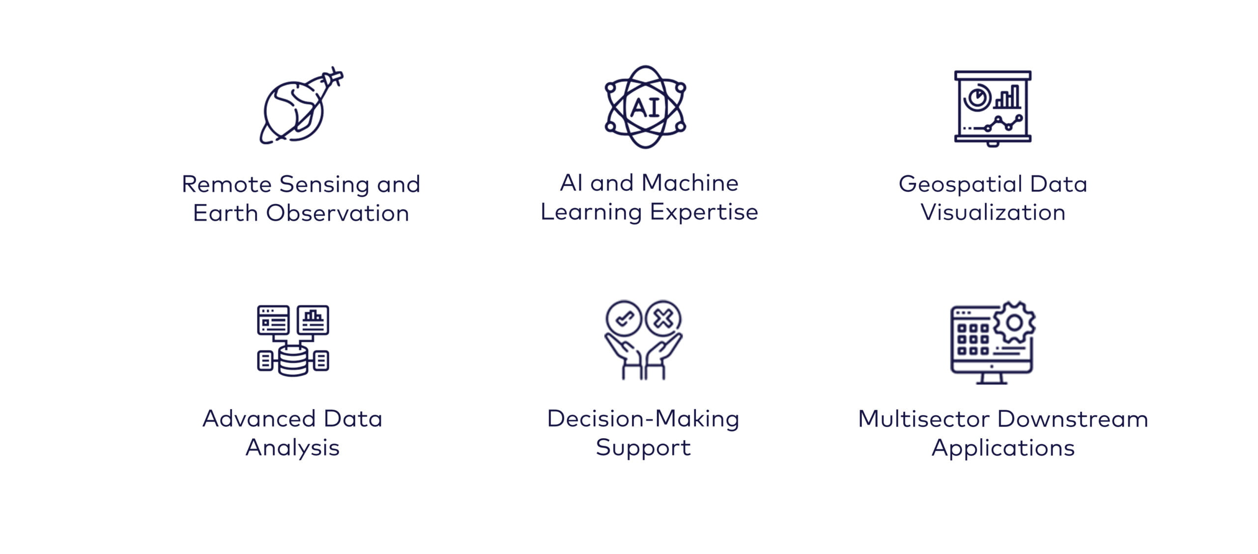
Arusha Space brings innovative approaches to solving problems using satellite images and geospatial analysis. We invite you to work with us to reimagine development solutions.